

Water and Land Engineering
BWS
Our services





ABOUT US
Welcome to Blau Welt Solutions, Water and Land Engineering. Your expert partner in managing and understanding water resources.
We specialize in providing a wide range of services in hydrogeology, hydrology, hydrochemistry, remote sensing and environmental studies. Our team of highly trained professionals have extensive experience in the field and is equipped with the latest technology to provide accurate and reliable data.
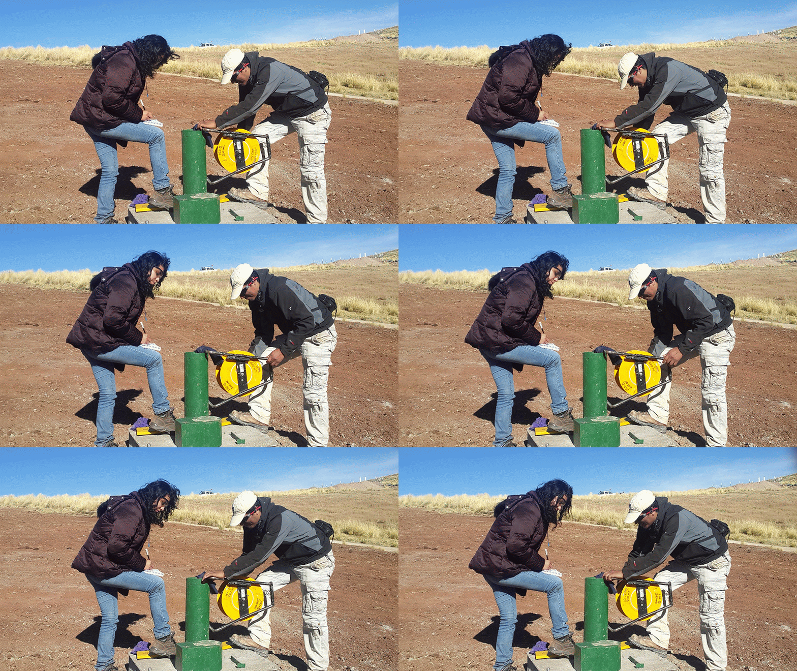
Our hydrogeology services include the study of the movement, distribution and quality of surface and groundwater, as well as the management and development of water resources in general.
Our hydrogeology services include the study of the movement, distribution and quality of surface and groundwater, as well as the management and development of water resources in general.
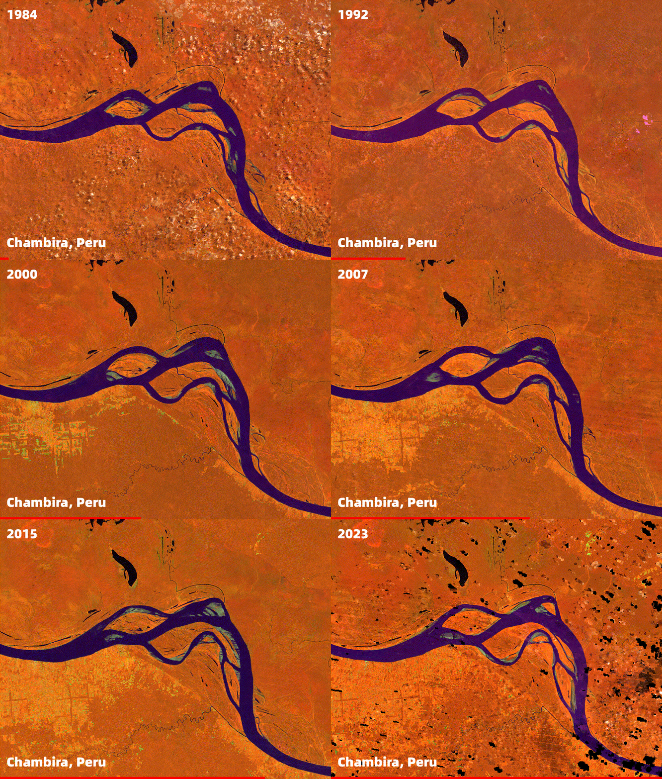
We also offer advanced remote sensing services using satellite and aerial imagery, GIS, and GPS technologies to provide detailed information on land use, vegetation cover, and other land cover characteristics. Our remote sensing services are especially useful for large-scale water resource planning and management.
In addition to our technical services, we also offer environmental impact assessments, environmental monitoring, and support to meet regulatory requirements. We work with a wide range of clients, including government agencies, water utilities, mining companies, and energy companies. Our goal is to provide economical solutions that meet the specific needs of each client.
If you would like more information on how we can help you manage and understand your water resources, please do not hesitate to contact us for more information. Thank you for considering Blau Welt Solutions, Water Engineering and the BWS field.
MEET OUR TEAM
+++ the complete team will be updated very soon +++

General Manager
Oscar Paredes Chacon
oparedes@blauweltsolutions.com
Geological engineer with extensive academic training and professional experience in hydrogeology and geotechnics. He has carried out important projects in different sectors in Peru, Bolivia and Argentina. He was a university professor and has given conferences in Peru and abroad. His experience includes the evaluation of aquifers, the management of pumping fields, hydrogeological studies for environmental purposes, among others. He also has extensive experience in drilling and equipping wells with different methods, diameters and purposes; completion of production wells with different materials and designs according to the conditions of each terrain, type of water, flow regime and type of energy available to obtain the best benefit-cost ratio for each project, including the operation and maintenance horizon

Associate Manager
Cinthya Ciprian Sanchez
cciprian@blauweltsolutions.com
Geological engineer with professional experience in hydrogeology and geotechnics. She has participated in important projects in different sectors in Peru and Germany. She has experience in physical modelling, both in regional and local models. Her experience includes numerical modelling for hydrogeological, geotechnical and geothermal projects at different scales.
.jpg)
Associate Manager
GIS specialist with professional experience in the automation of classical geoscientific workflows. Experienced in using satellite imagery to perform land cover classification, vegetation health and monitoring, land surface temperature analysis, urban growth and expansion, deforestation and forest monitoring, water quality assessment, coastal and marine analysis, air quality and pollution monitoring, natural disaster assessment, biodiversity and habitat assessment, agricultural monitoring.
Experience in developing different GIS applications and front-ends to project complex data into meaningful and interpretable results. Certified drone pilot for data collection.
.jpg)
Associate Manager
Sevvandhi Rajapaksha
srajapaksha@blauweltsolutions.com
GIS Analyst responsible for analyzing and creating landslide hazard maps and models using ArcGIS and QGIS. Assignments ranging from original data preparation from base maps, georeferencing, and digitization. Data processing and data anlaysis workflows preparation for government and private customers.
CONTACT
Inquiries
For any queries, questions or comments, please contact us at: 987 898060 or fill out the following form.